Rules for every species, maps of allowed waters, depth charts and an hourly bite forecast. One app, four languages.
75+
depth charts
170+
water temperature stations
100+
public spots on the map
70+
catch reports
8
species with a bite forecast
7
map layers
Every species in local waters
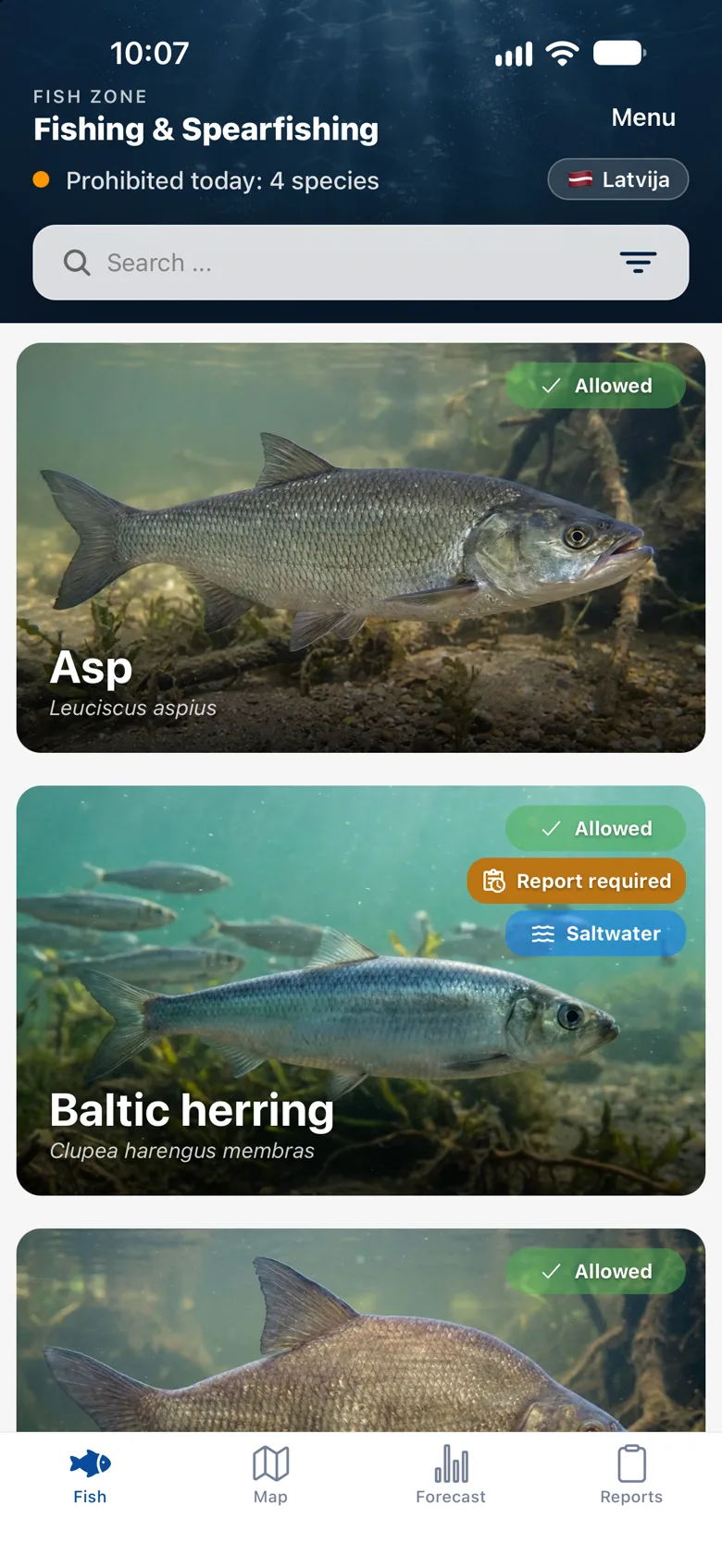
All fish of the selected country in one list, with sea species and catch report requirements marked. Switch between Latvia and Lithuania at the top of the screen and the list and rules change to the ones that apply there. With Pro, each card also shows whether the species is allowed today, and the list can be filtered by it.
Fish card: all rules on one screen
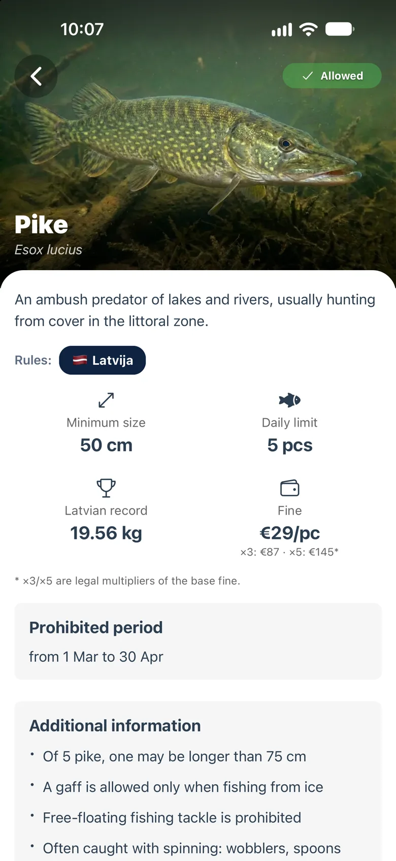
Minimum size, daily limit, closed season, the fine with its ×3 and ×5 multipliers and the national record. A badge shows whether the species is allowed today, and one tap switches between the Latvian and Lithuanian rules.
Where you can fish: rules on the map
Two maps in one: for spearfishing it marks the waters where hunting is allowed, for angling the bans and limits on each stretch. Licensed and paid waters are marked too. Pick a date in the calendar to see what applies on the day you go.
Depth charts and compass
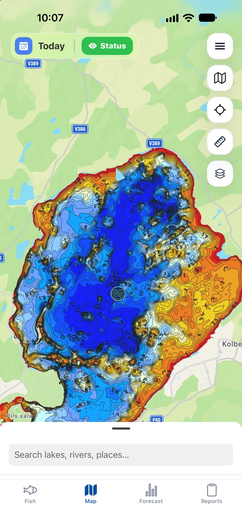
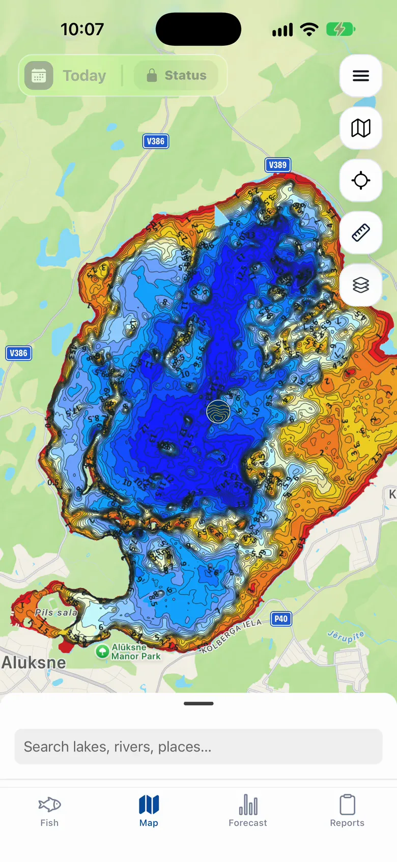
Depth charts licensed from Baltic Depth Maps: 75+ lakes and rivers in Latvia, Lake Peipus in Estonia and 3 Lithuanian lakes on the Latvian border, with 80+ more for Lithuania planned. The map shows where you are, and a second tap on the location button turns on the compass: a line in the direction the phone points, with distance marks that follow the zoom, so you see what depth your cast will reach.
Video
Ruler for distances and routes
Tap the map to drop points and see the length of every leg and the total: a cast, a drift, a boat route or a dive line. Drag a point to move it, tap it to remove.
Water temperature from real stations
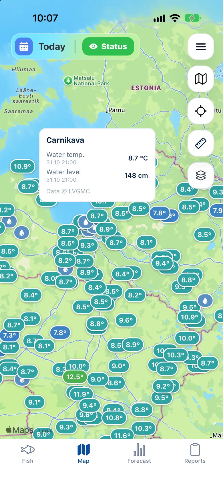
Readings from 170+ hydrological stations in Latvia and Lithuania right on the map: tap a station to see the water temperature and level. Not a model guess: the number the station reported an hour ago.
Catch reports in your language
Spearfishers and anglers both share reports: a spearfisher adds water visibility, an angler adds the method (spinning, bottom, float, trolling, ice). Photo and depth, and the exact spot can stay hidden. Post from any country, and filter the feed by country. AI translates every report into Latvian, Lithuanian, Russian and English.
A forecast that shows its reasons
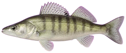
Hourly activity for each species and why it is high or low. The forecast uses the real water temperature of the water body you pick: station readings and their trend, so the curve changes when the water warms up or cools down. Drag the hour and watch the reasons change. Example: zander, 2 November.
75/100
High activity
Confidence: medium
Best window07:00-10:00
Water trend
8.6°Clatest observation
↘ -0.1° / 72 h
LVĢMC
Zander · hourly activity
↑07:37↓16:40
HighMediumLow
08:00 · 75
Conditions at08:00
Weather from MET Norway (CC BY 4.0), water temperature from LVĢMC. The forecast does not guarantee a catch.
Seven layers, one map
Turn on what you need for the day and leave the rest off. Tap a layer to see it on the phone.
Where underwater hunting is allowed, by date
Take Fish Zone to the water.
Available in Latvian, Lithuanian, Russian and English, for iPhone and Android.